Land Development
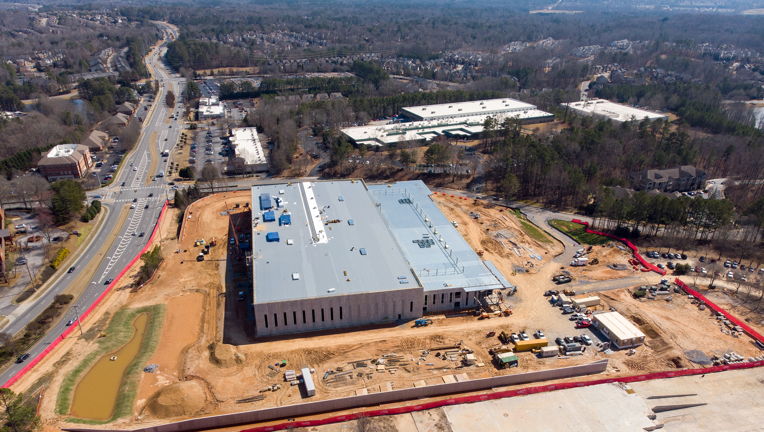
The Land Development Division strives to ensure quality and excellence in the land disturbance permitting process, development inspections, and stormwater management compliance practices.
The Land Development Division is the key agency of the city responsible for processing Land Disturbance permit requests for the City of Johns Creek. The division handles intake, processing, and issuance of various types of permits and documentation:
-
Minor land disturbance permits
-
Land disturbance permits
-
Minor plats
-
Final plats
-
Tree removal permits
Did You Know: All properties within the 2,000 foot Chattahoochee River Corridor are reviewed for compliance with the Metropolitan River Protection Act.
Land Development FAQs
What is a Land Disturbance Permit (LDP)?
A Land Disturbance Permit (LDP) is an official authorization issued by the Community Development Department allowing defoliation or alteration of a site or commencement of any construction activities, including, but not limited to:
- Dredging
- Grading
- Excavating
- Transporting
- Filling of land
When is a Land Disturbance Permit (LDP) required?
A Land Disturbance Permit is required when 1,000 or more square feet of ground disturbance is proposed. This can include grading, clearing, paving, grubbing, or any other activity that meets the definition of land disturbing activity under Article IV of the City of Johns Creek Development regulations. All land disturbance must comply with the most recent Georgia Stormwater Management Manual and the 2016 Edition of the Manual for Erosion and Sediment Control in Georgia.
On a case by case basis, a Land Disturbance Permit (Minor LDP) may be required for ground disturbance less than 1,000 square feet, when the disturbance will result in the need for Erosion Control BMPs due to possible damage to adjoining property or result in changes to topography and storm water drainage patterns.
What is a Minor Plat?
A subdivision of 3 lots or less, or a recombination of 2 or more lots, qualifies as a Minor Plat. These plats do not involve the extension of utilities, new roads or other city facilities.
Is the City of Johns Creek a Local Issuing Authority (LIA)?
Yes, the City is a Local Issuing Authority and has been certified by the Georgia Environmental Protection Division (EPD). As such, the city can issue LDPs, charge permit fees, and enforce an erosion and sediment control ordinance.
How much do reviews and permits cost?
In addition to applicable review and administrative fees, the LDP permit fees are assessed by determining the project valuation for clearing, installation of infrastructure, inspections, and NPDES fees. Please refer to the fee schedule (PDF).
Do I need permission to remove a tree on my property?
Maybe. Permission to remove a tree is required when a tree is located within a zoning buffer, stream buffer, Chattahoochee River Corridor, or other protected area (i.e. required landscape strip), or the tree qualifies as a specimen tree. All tree removal requests are to be made using the City’s Customer Self-Service (CSS) portal.
View the Tree Removal Flow Chart (PDF).
What are the stream buffer rules in the City of Johns Creek?
All streams, creeks, lakes, ponds, springs and other natural waters have a 50-foot undisturbed buffer plus an additional 25-foot setback where all impervious surfaces are prohibited. No land disturbing activity can occur within the 50 foot buffer.
How do I develop or build in the Chattahoochee River Corridor?
The City of Johns Creek enforces the Metropolitan River Protection Act, which recognizes the Chattahoochee River Corridor extends 2,000 feet from the banks of the river. Both clearing and the creation of impervious surfaces are restricted within the corridor based on vulnerability categories. Any request to build a new homes, addition or add any new impervious surface or cover within the Chattahoochee River Corridor must submit site plans showing vulnerability categories and existing, proposed, and allowable clearing and impervious surface/cover calculations for review.
New developments must obtain a Chattahoochee River Corridor Certificate through the Atlanta Regional Commission prior to submittal of construction documents.

