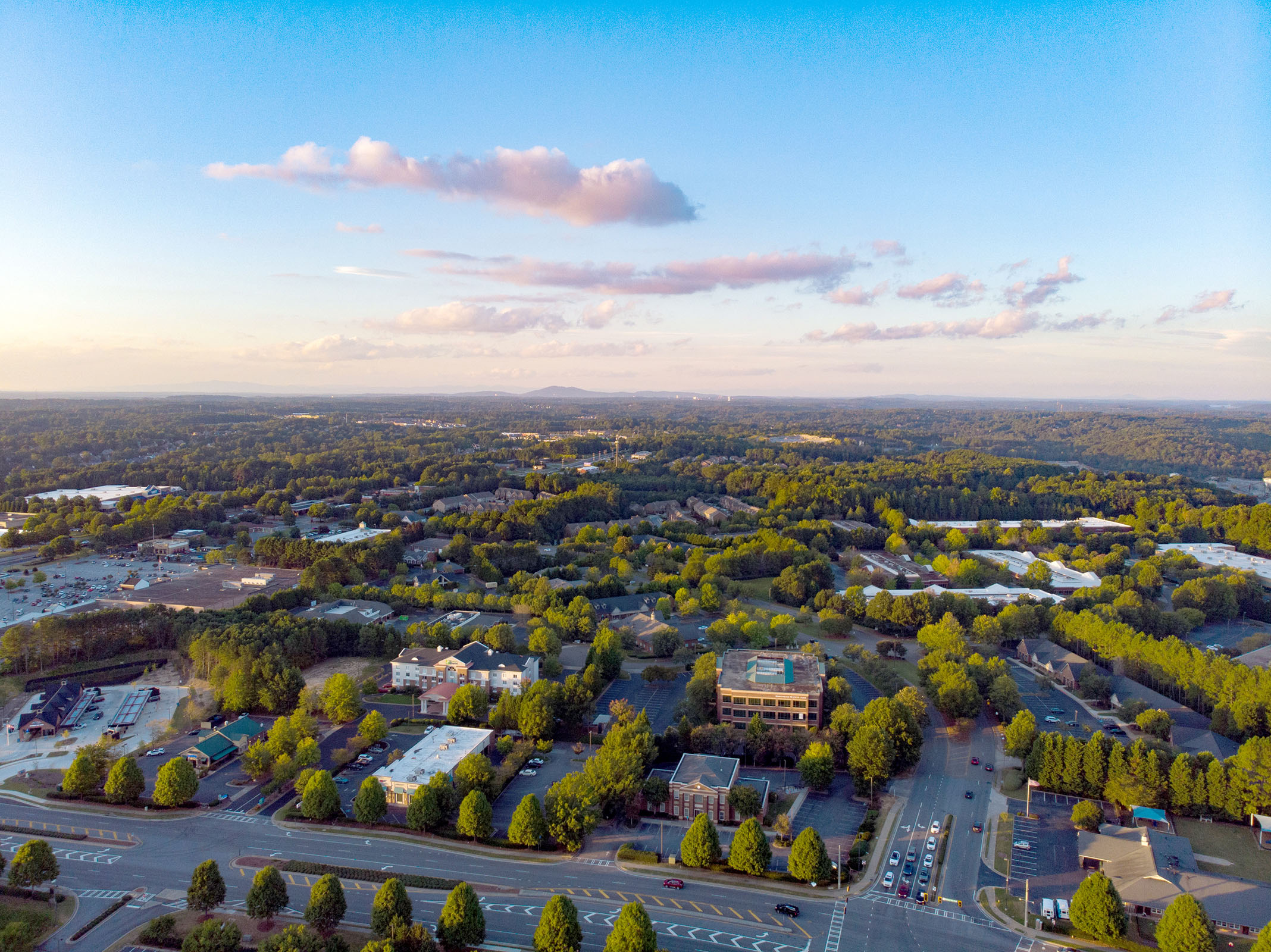

GIS / Maps
Explore Johns Creek through Maps
The City’s GIS (Geographic Information Systems) department curates data from across City departments to help guide major decisions and improve service delivery. Discover maps and interactive dashboards, which highlight where things are happening in Johns Creek. If you’re searching for GIS data, explore the DataHub or submit a request for public records.
Learn more about the City through maps
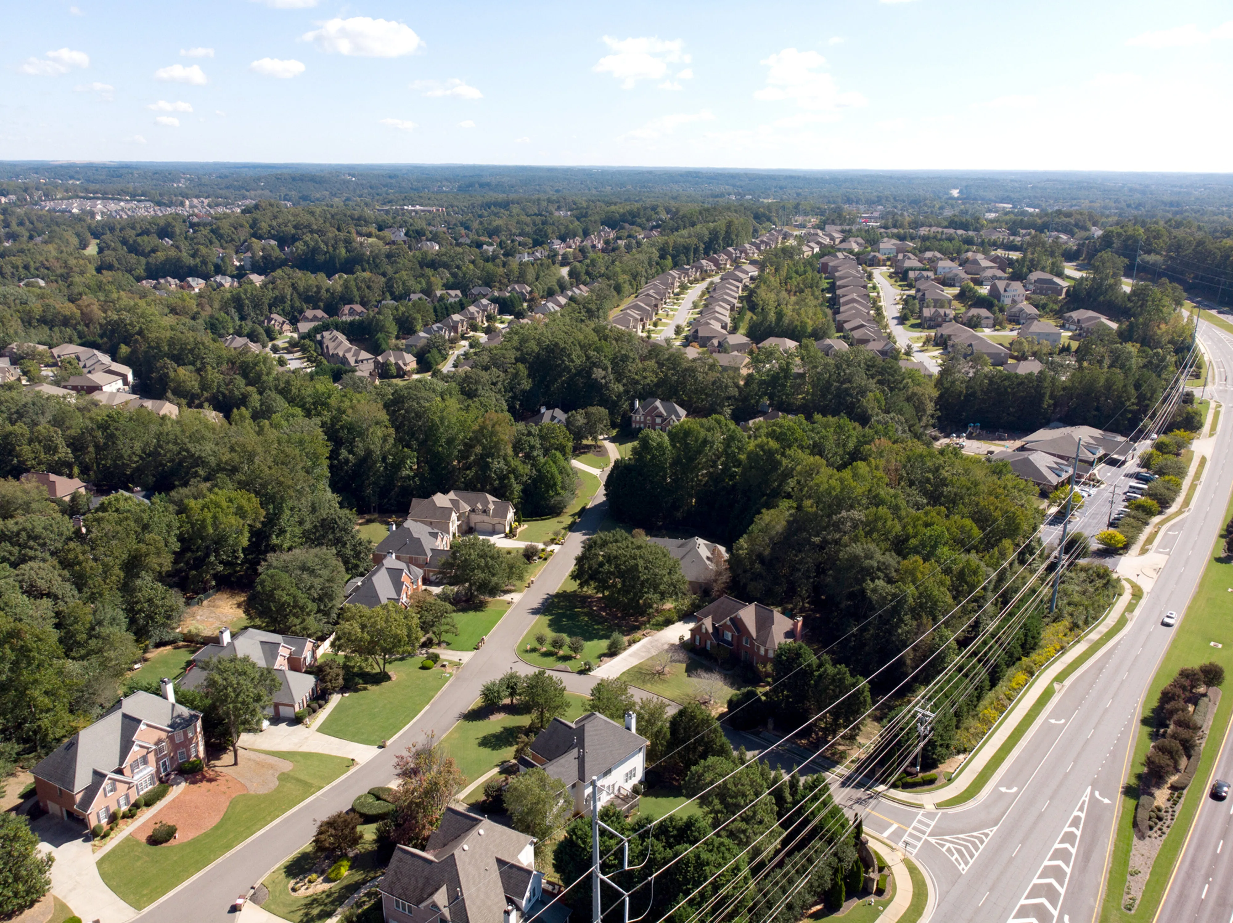
From construction projects to sidewalks and trails, interactive maps showcase some of our community’s features.
Construction Projects Map
Construction Projects Map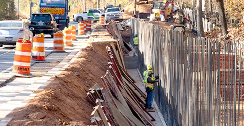
CreekView
Explore CreekView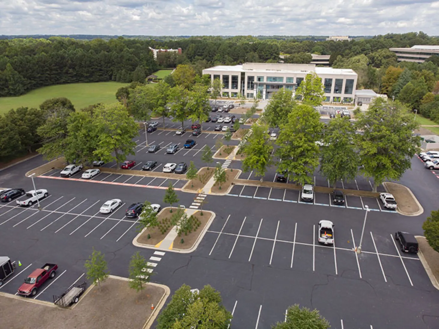
Find A Business
Find A Business
Recreation & Parks Maps
R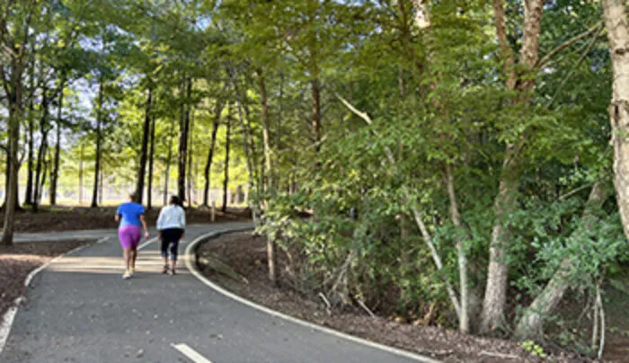
Sidewalk & Trails Maps
Sidewalk & Trail Maps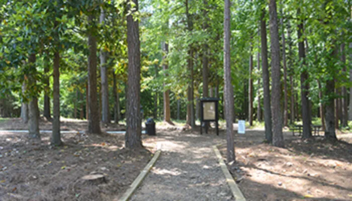
Zoning Map
Zoning Map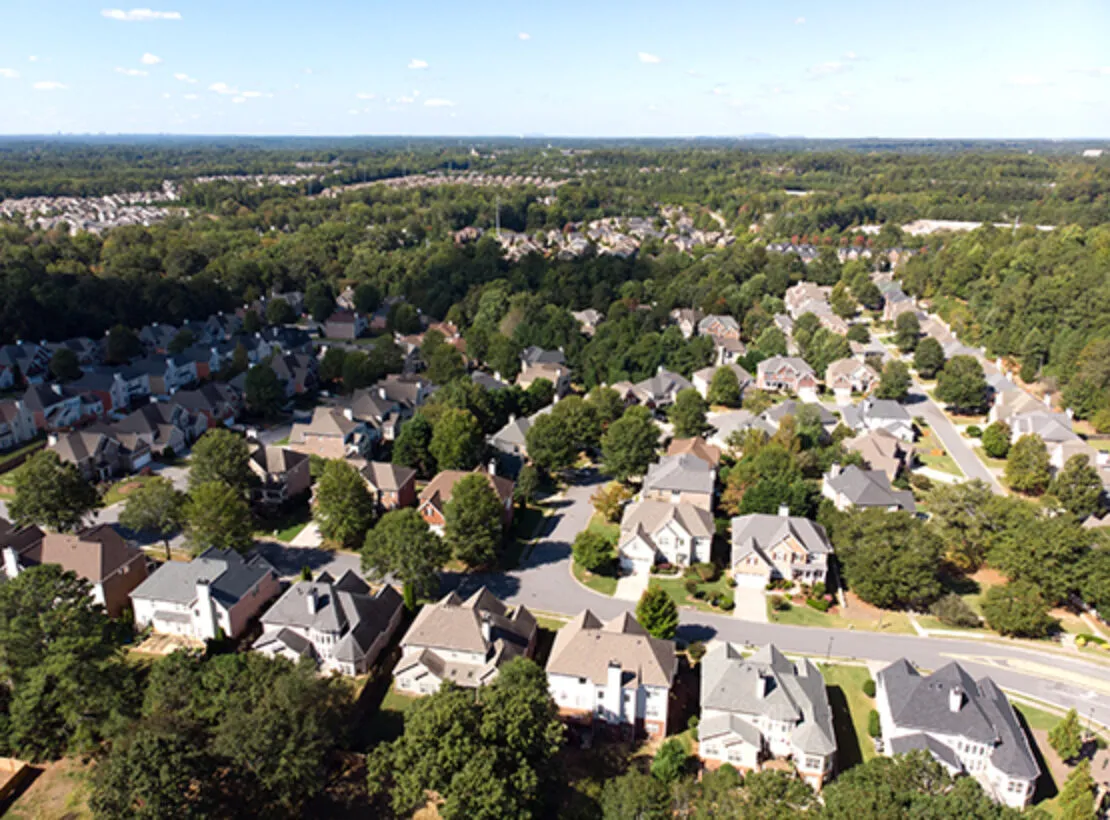
You may also be interested In…
Learn what’s nearby and in your community!
Resident Resource Guide
Enter your street address in the Resident Resource Guide to find information about construction projects, nearest recreation & parks, emergency services, elected officials, libraries, libraries, local schools, and more.
View the Resident Resource Guide